B r a t r o n i c e (Co: Kladno)
50°03´51´´N; 14°00´17´´E; 410 m ASL
On antique way from Prague, over Červený Újezd, Unhoą», Bratronice, Běleč, Zbečno, the Castle Křivoklát finds several well - kept milestones.


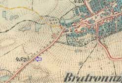
III. military mapping - Francis-Joseph II. 1877 - 1880, gauge 1:25000


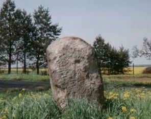
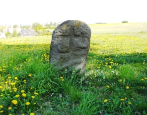
This stone with apparent relieves cross on both sides lies less than kilometre west by south from village Bratronice.
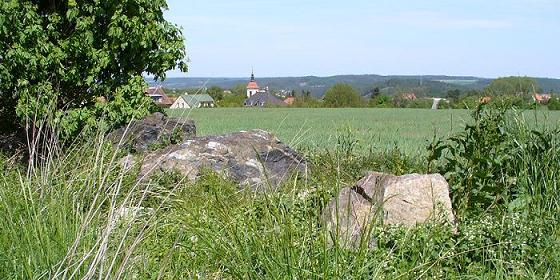
Stone is marked on the maps as Cout of conciliation; the place provides a good all-round view.


