H o m o l e - B a l v a n i s k a - C h l í s t o v
Balvaniska (before Homole hill)
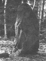
The hill between Hodkov and Branishov within Sedlchany region, 7 km south of Vysoky Chlumec, designated as Balvaniska (Boulders)
.
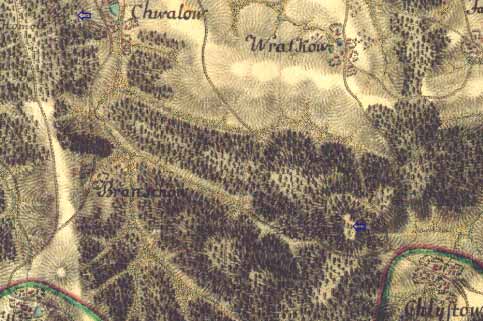
The Stone lies in close proximity to ground elevation 670,8 m.
Due to a plenty of identical stones occurring within the area we doubt whether the Stone has been erected intentionally or if it is a natural creation.
On map from years 1819-58 (Francis mapping Bohemian) is spot height marked
Jweny B. altitude 352,08 Viennese six feet (1sah=1,896484m).
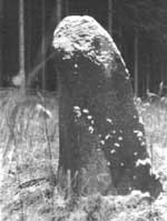
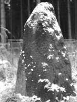
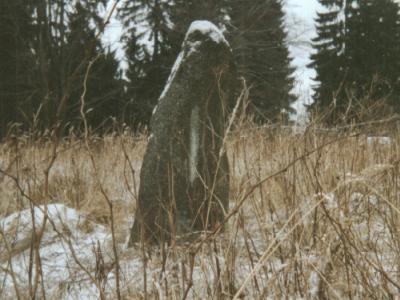
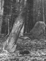
Less than four kilometers from Sedlece, southwest after blue tourist mark, we get view of three mount stones.
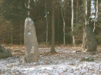

The Original stele, which is allude in Sedlec on signboard like primeval, she has two companion today. These two stones lay off old stele, in height with surrounding cross country. They were erection in summer of the year 1999. Wooden shoring on scanned it's good see .


