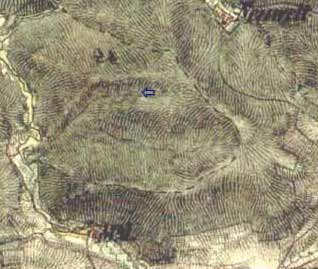
N e č e m i c e
50°13´32,2´´N; 13°41´43´´E; 380 m n.m.
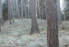
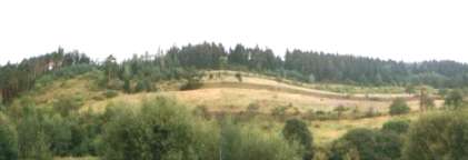
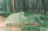
Remainders of four rows lie on a rather steep slope of northern slope of
Necemice Hill. They incline towards south-west direction within Az 20-30o
Out of highest seats nor isn't direct visibility any great way. Maybe there happen building with circular pen. Remains her create rows stones contour line along. Could be that fortification pathway in slope, the would hot sank to stream. Section with stones is very short.
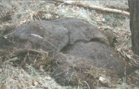
On the upper ridge you can see an artificially piled up mound made of small stones where the rows end up except for the most bottom one.

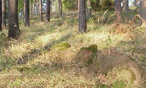
Neither from the highest point there is there is any straight view in any direction of major importance, nevertheless this structure must have had served some purpose, and already for that reason it should deserve to attract some greater attention of the archeologists.
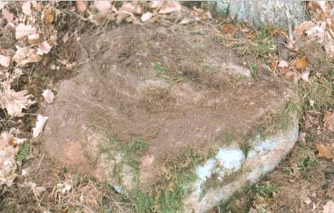
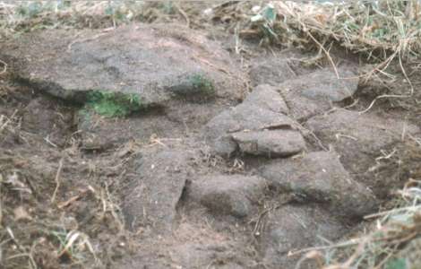
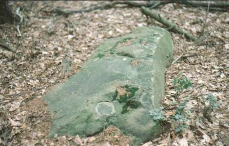
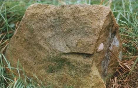
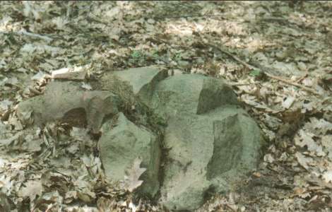
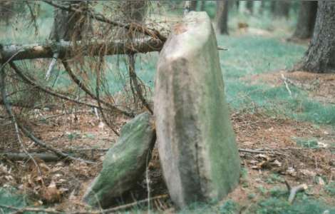
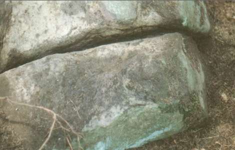
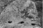
On one of the stones fully overgrown with moss there is a special spot, so called "eye", 8 cm in diameter, without any growth what so ever.
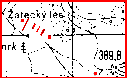
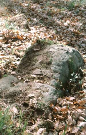
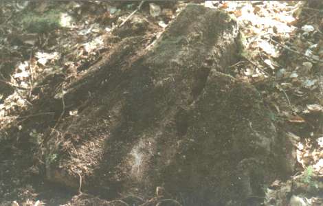
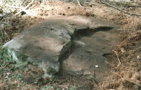
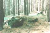
A stone lying independently north of Necemice has been marked on a small map at elevation 388,8 m. If not shadowed by trees you could se so called Sand Hill (Pískový vrch) as well as Little Fortified Settlement (Malé Hradisko). Its size is pretty considerable, i.e. 280 x 150 cm.
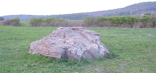
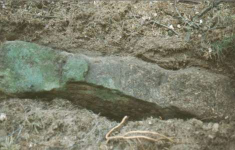
Gigantic cobble yclept "Devils stone". Is on him see deep horizontal incidence water erosion. In upside is artificially cut notch destined on rows stones and natural postneuritic water dish.
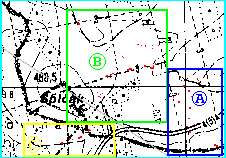
H i l l Š p i č á k (Canine) n e a r N e č e m i c e
.. 13°40´10´´v.d.; 50°14´12´´s.š. ; 460m ..
In the surrounding eyetooth finds several well - kept coalition conspicuously coherent transport systems on series Kounov.
Most stones are sandstone, but can be strike and on light quartzite.
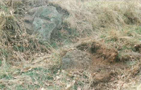
This very day along be under way district line Rakovnik - Louny. Can be here reveal old boundary - stone. Some stones are them similar.
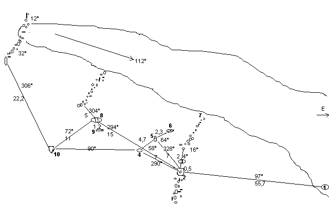
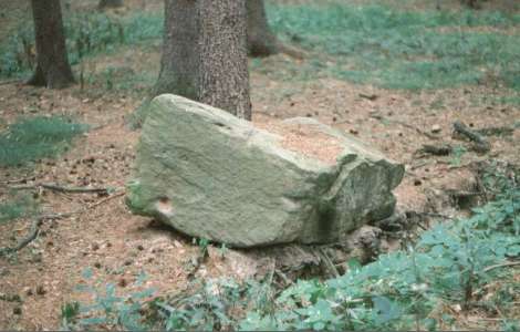
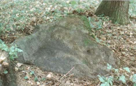
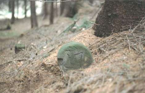
One from interesting stones in circular cavern about average 6 m,
in easter parts A
(Drawing ---
Katalogue)
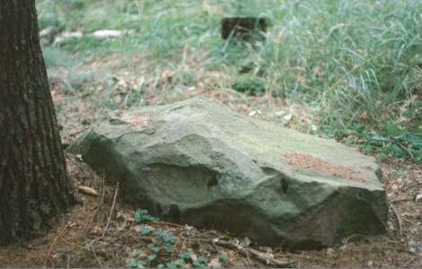
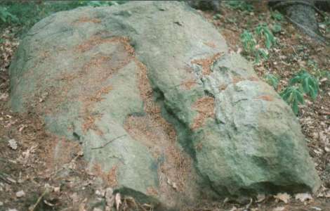
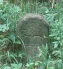
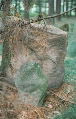
Next group is just a few metres, except by other interesting forms is here and flat boulder shaped moon lunette with "vizír" comb indentation in the middle.
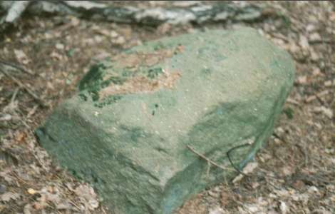
Not far off is stone with no unusual working to the form triangle.
Northeast of Hill Špičák lies
group B
(Drawing ---
Katalogue)
Stones respectable proportions natural origin 310x100x100cm.......350x300x100cm
South lies group C
(Drawing ---
Katalogue)

